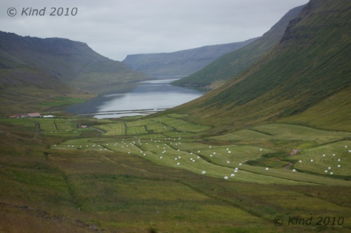
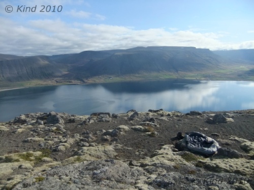
 I woke up to a gorgeous open view that was all mine because the others were still sleeping. The sun had warmed me enough to come out of my sleeping bag, and I communed with the guide book, planning the future for some time, until the wisps of cloud in the blue morning sky coalesced into overcast, and I woke the others as it began to sock in and cool off.
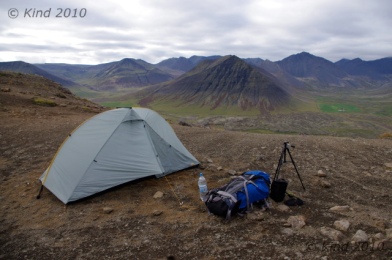 We drove off from our renegade camp spot at the secret mountaintop location at 10:30.
What to do? Suðereyri or not?
We chose Suðereyri, and it was bust. Nothing was open, and it was a weird place. It looked impoverished, but supposedly it is a progressive model of a green community committed to sustainability and thriving on tourism.
We didn’t see that. We didn’t see anyone, or anything, interesting in the least, and we turned directly around and left.
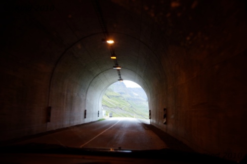
At any rate, it was worth the trip, because the only way to Suðereyri by road is by an amazingly long tunnel bored 5km through a mountain.
This seemed astounding. First of all, it’s the longest road tunnel I’ve ever been in, bar none (five kilometers!), and it seems a monumentally costly road construction project to connect one tiny town that used to be boat-in. Also flabbergasting, it has a T-junction in the middle of it. After driving in the dark for minutes, there’s a T-junction! Somewhere in the depths of rock under a gigantic mountain, there’s a little sign. Notifying you: left turn to Suðereyri. Another wonder of Iceland.
We sped on to Ísafjörður, where we promptly went to the Gamla Bakaríið bakery and ate a lot of bread. We were near crisis with our camera batteries now, perhaps accounting for the dearth of photos on this day. Everywhere we went we subtly sought out outlets and plugged our batteries in to snatch a few minutes of borrowed power – at the tourist outlet, the bakery, the library.
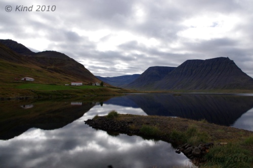 Our “hitchhiker” Cheryl was leaving us. We were destined to go on a Hornstrandir hike, and she had less time left in Iceland than we did and wanted to be more economical. At the tourist office she investigated flights and we bought tickets for a passage to Latravík at 6pm. The man there grilled us about our preparedness and experience hiking, looking skeptical and intoning about “cold” until I bristled and said “Look, we’re Canadian, ok. We’re prepared!” Then he warmed up.
6pm seemed to allow us tons of time, but as it turned out, it ran out fast. We took Cheryl to the road to hitch out of town, dropped a load of clothes in the laundry at the campsite, and Derek camped at the library to empty SD cards and charge batteries in preparation for a multi-day hike while I picked up stamps, provisions, and shuffled the laundry.
Laundry is no joke in Iceland. Unbelievably, our single load of laundry cost $8 here. To wash. It cost another $8 to slightly overdry it. For a country with abundant geothermal heat and energy, the cost of laundering is astonishing. It also takes forever. I never thought a wash cycle could last two hours.
One $16 load of laundry later, our time had run out, and we were hastily packing our expensively clean clothes into our packs for Hornstrandir. 12 minutes away from 6 o’clock without the food packed yet, we panicked and rushed off to our departure dock at Bolungarvík… and promptly ran into road construction.
Road construction in Iceland – well. The fend-for-yourself and we-assume-you’re-not-an-idiot ethos is alive and well in this aspect of Icelandic life too. Clearly, they think flag people are a waste of money, or who could stand to do that job anyway, and cones and pilons must be considered a nuisance too.
 We hit construction elsewhere too, and never saw a flagger. But this was a rather massive operation, over a couple of km, with multiple lanes torn up and the traffic of a pretty busy road diverted. No signs, no pilons, no flaggers. That’s right, just traffic rolling pretty smoothly around the big yellow machines that were busy working. Everyone was working! I held things up a bit, because I didn’t know where I was supposed to drive for a moment, but I figured it out. And I guess that’s what they expect- people will figure it out. When there’s an excavator sideways in the road, you stop for it. When it gets off the road, you go around it. Who needs flagpeople? If there’s traffic waiting both ways, they work it out, like at a stop sign. No biggie. This was totally amazing to me, though, used to a million-cone line marking a lane reduction, flashing arrow signs, temporary streetlights, and flaggers in chartreuse jumpsuits with radios, ubiquitous everywhere there are potholes being repaired in North America. Where we still have accidents.
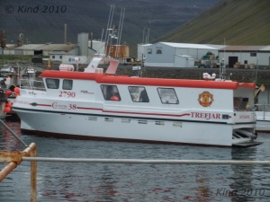
 We reached the dock at Bolungarvík in the nick of time to find our boat obviously there but no one in sight, thankfully giving us time to pack our food and snack a little. Someone came to tell us we were departing around 7 instead, so we had time to repack, properly, grease our boots, and mail postcards.
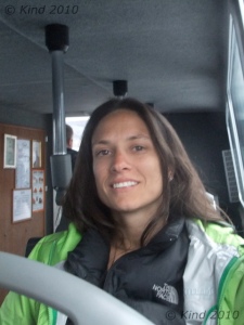 We were the only tourists on the boat with a group of men who stood outside the cabin drinking beer and talking Icelandic. Their cargo was two bales of insulation, which was really strange and mysterious to me. I wanted to know, but didn’t know how to ask. Why were four men taking two bales of insulation to Hornstrandir? That won’t go very far.
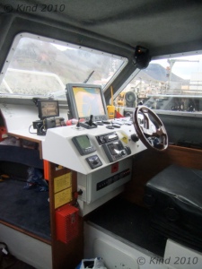
The boat ride in the flat light of an overcast evening put Hornstrandir in perspective real fast. This was the open ocean. Although Hornstrandir is connected to mainland Iceland, the fastest way to the eastern edge of the peninsula is by boat, which cuts across the Atlantic much more efficiently than overland.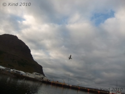 The bow of the boat was bouncing up and down, smacking the waves and throwing spray over the cabin. Weirdly, the captain of our shuttle would not speak to me at all, directing all his speech to my brother, including his responses to my questions, steadfastly refusing to make eye contact with me. He would ask my brother questions, looking at him, and then I would answer some of them, and he would continue talking, to my brother as if it had been he who just spoke. It was a bizarre experience.
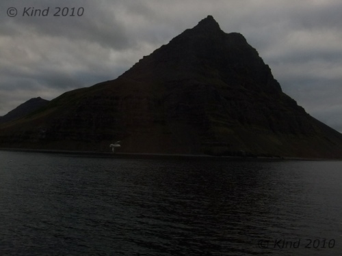 I stared out at the waves until my vision blurred, hoping to see a whale. I saw a spray I was pretty sure was a spout, but it was too far off to confirm. After the long boat ride, we slowed into harbour, where there was a lone bundled-up woman waiting on the dock to be picked up. The men with their insulation put out in the zodiac to cross the shallows, then we went. The boat zoomed off with the woman at the end of her trip, and the men had vanished somewhere as we walked up the beach, alone.
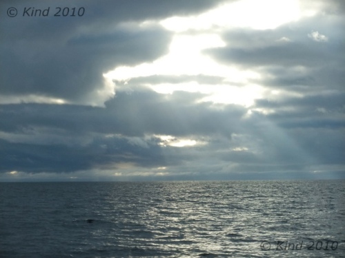 Its hard to describe, but there is no “alone” until you’re alone on an uninhabited island with no phones, radio, contact of any kind. Hornstrandir isn’t an island, but a 580 sq km area without a road may as well be. We were scheduled to be picked up after three nights at Hesteyri, a mountain range away. We were completely on our own until then, and had to manage navigation, food, weather or injury without any back up plans. There are almost no paths, no trails, because the routes aren’t traveled heavily enough to create many.
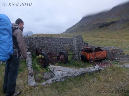
 Where we disembarked at Látrar there was garbage everywhere. Rusty shells that used to be cars and farm equipment, grown-over, hollow foundations, and random buckets and trash almost hidden in the long serrated windswept grass. We quickly found the emergency hut and curiously checked out all it offered. There were blankets and candles and fuel and firewood. There were quite a few snacks and bits of gear, obviously left behind my hikers finishing their hikes for others to use. We were quite delighted with the emergency hut.
Since 1975, no one has lived on Hornstrandir, and the whole peninsula (the curved “horn”, or a rooster comb, of what I’ve always thought looked like the head of the creature that Iceland’s outline resembled) is a wildlife preserve. There were several boarded up houses, and we followed the beach line looking for a place to camp for the night.
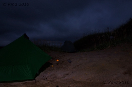
We chose the sandy bank of the river we’d have to cross in the morning, at the delta where it spilled out into the sea. Seabirds were gathered on the surfy edge of the water, but they were too shy to let us approach them.
 Camping on the sand has never worked out that well for me. There’s always a humid feel to the air so you wake up feeling damp and wet, and I hate sandfleas. There’s no purchase for tentpegs, and although the sand promises to dish into a cozy nest shape, in reality it tends to pile up in the wrong places and make a lumpy night’s sleep. There was nothing but sand, though, sand and sand with coarse grass growing in it, so we chose a spot sheltered by a little dune and sought out rocks to anchor our tentpegs with.
We ate noodle soup and fell asleep on the beach. It was loud- the waves.
For a few more pictures from this day, click for the Extra Photos
